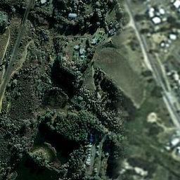
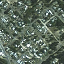
for captions
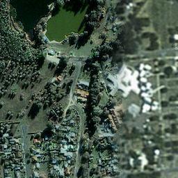
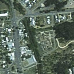
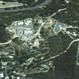
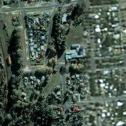
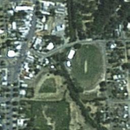
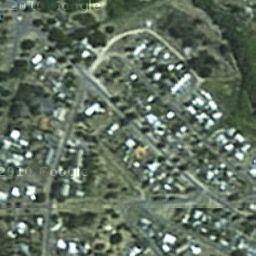
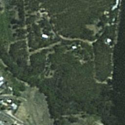
and Hammon Park, right
| http://www.ozvalveamps.org/temp/satmap.html | Created: 21/01/11 | Last update: 00:32 17/04/11 |

|

|
Cursor over images
for captions |

|

|

|

|

|
Water St bridge
and Hammon Park, right |
| Northcott Park, right bottom |

|

|
|
|